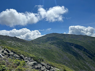
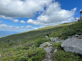
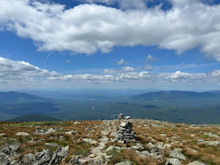
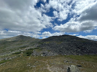
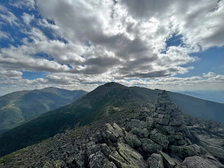
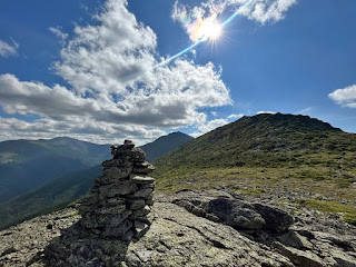
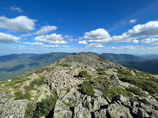
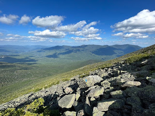
Date of Hike: 8/6/23
Pinkham B Road 1.5 miles / Pine Link Trail: 3.5 miles / Watson Path: 0.3 miles / Osgood Trail: 0.5 miles / Star Lake Trail: 0.3 miles / Buttress Trail: 1.9 miles / Six Husbands Trail: 0.5 miles / Great Gulf Trail: 2.9 miles / Gulfside Trail: 0.4 miles / Nelson Crag Trail: 0.9 miles / Alpine Garden Trail: 0.4 miles / Wamsutta: 1.7 miles / Six Husbands Trail: 2.4 miles / Castle Trail: 1.5 miles / The Link: 0.6 miles / Castle Ravine Trail: 1.0 miles / Randolph Path: 0.7 miles / Gray Knob Trail: 1.2 miles / Lowe's Path: 1.5 miles / Star Lake Trail: 1.0 miles / Airline Cutoff: 0.2 miles / Airline: 0.3 miles / Chemin Des Dames: 0.4 miles / King Ravine Trail: 0.9 miles / Gulfside Trail: 0.3 miles / Osgood Trail: 1.0 miles / Daniel Webster Scout Trail: 3.3 miles / Hayes-Copp Ski Trail: 1.0 miles
Total Miles: 32.1 (16,250' elevation gained)
Elevation Over Distance Profile
Trip Report
- On Sunday morning I headed out to do a recon run of the MMD route I created for my friends to hike/run the following weekend. My goal for the day was to hike at a solid clip and run a few sections without having to do the dreaded one/two steps up and stop during the last steep bursts up Castle and King ravines during the back end of the route as I had done the previous two times on similar MMD routes in
2013 and
2017.
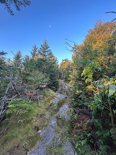
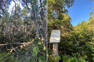
- 5:20AM, I started out with a nice warmup run up Pinkham B Road to the Pine Link Trail. Once on Pine Link Trail I settled into a good hiking clip up a mix of moderate and short steep grades as I gained elevation on the way to the junction with Howker Ridge Trail. Pine Link and Howker Ridge coincide for a few tenths of a mile over one of the "Howks" before Pine Link splits off and heads above treeline where it crosses paths with Watson Path 0.3 miles below the summit of Mount Madison.
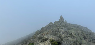
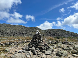
- There was a chill to the air early Sunday morning so I put on my Patagonia Houdini jacket and gloves to stay warm and hooked onto Watson Path and into the clouds and high winds, battling my way up the summit cone to Mount Madison, 7:07AM. I tagged the summit marker before booking it down to Madison Spring Hut to refill my water and prepare my gear before dropping down into the Great Gulf Wilderness.
Heading up Pine Link Trail
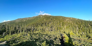
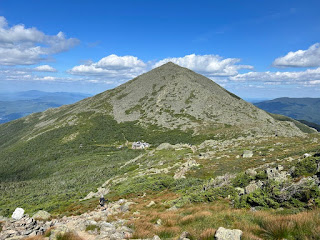
Looking up to Mount Madison from one of the "Howks"
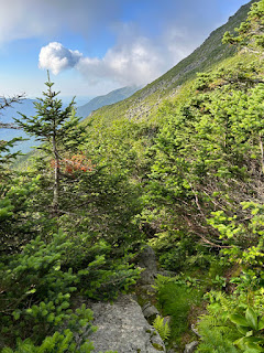
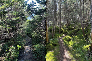
Pine Link Trail is steep and rocky and a little grown in near treeline
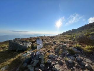
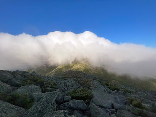
Pine Link/Watson Path trail junction, below the clouds and in the sun
0.3 miles later, stuck in a cloud on the summit of Mount Madison
Descending to Madison Spring Hut and out of the clouds with Mount Adams blanketed in thick clouds
- From Madison Spring Hut I took the Star Lake Trail for and easy 0.3 miles until branching off onto the Buttress Trail. The first half mile of Buttress was a mix of rock hopping out in the open and tight overgrown scrub sections where you could barely see your feet, my pace slowed considerably through this section as to not get tripped up on rocks and roots hidden out of view under my feet.
- Once past the overgrown section the trail became a breeze with good footing down to the open talus field. I picked up my pace and scooted down the trail, after a few tenths of a mile my knee started to ache and become sore from my Grand Canyon injury back in May, so I throttled down knowing I had a long day ahead of me.
Entering the Great Gulf Wilderness via the Buttress Trail
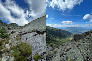
Trail is a little overgrown in spots up high
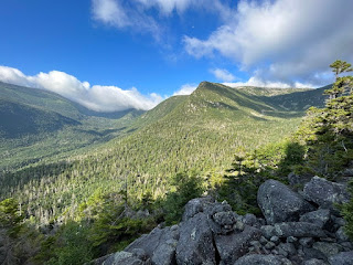
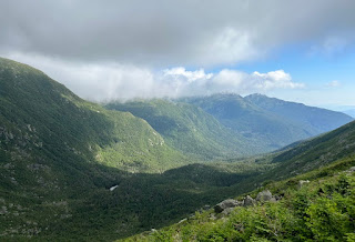
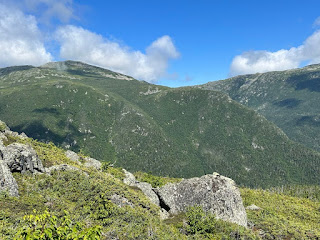
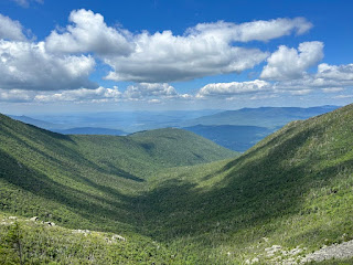
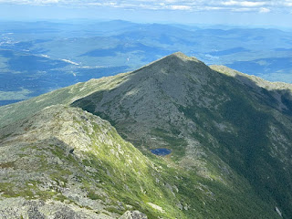
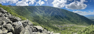
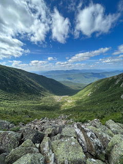
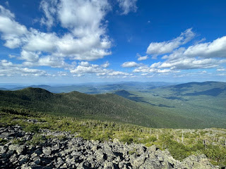
Beautiful view of the Great Gulf, Jefferson's knee, and Jefferson Ravine from the lower talus field
- At the bottom of the Buttress Trail I banged a left onto the Six Husbands Trail for 0.5 miles to the intersection of Great Gulf and Wamsutta trails, bearing a right on the Great Gulf Trail.
- Great Gulf Trail is a remote and wild trail with moderate grades until reaching Spaulding Lake as it passes by numerous cascades and falls, with Weetamoo Falls being the most spectacular of them all.
- I made quick work of the two miles to Spaulding Lake and was presently surprised by some recent trail work that had been done up to and beyond Spaulding Lake. In previous years I would have wet feet from flooded over sections of trail even during the driest of summers, but my feet stayed dry on this day, a big win!
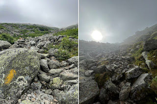
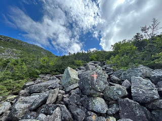
- Once past Spaulding Lake I climbed up the Great Gulf headwall and back into the clouds. The bottom part of the headwall basically shoots straight up a waterfall before breaking open into a huge boulder and scree field to the top. Cairns and blazes are few and far between over the last half mile, lucky for me I have about a dozen hikes through here under my belt, so I never wander too far off the trail.
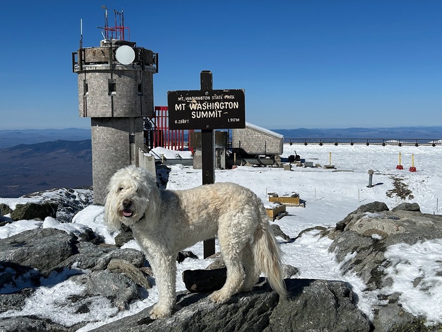
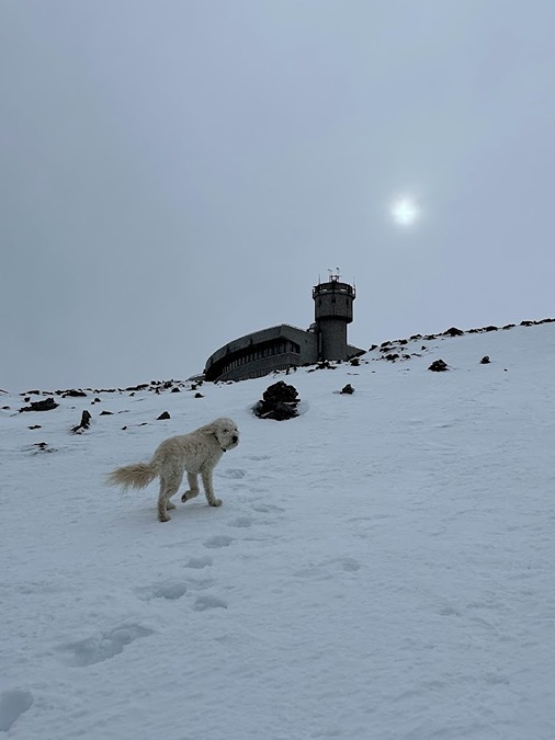
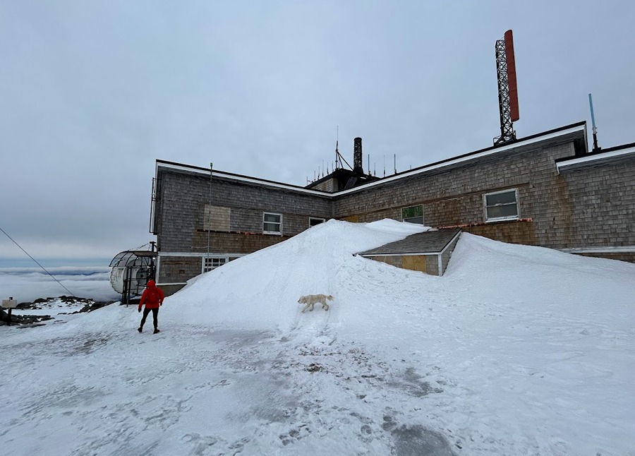
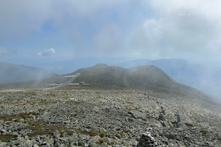
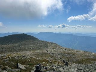
- As soon as I topped out of the Great Gulf I got blasted with high winds and low visibility, so I rocked hopped my way up to Mount Washington's summit, 9:30AM, where I headed inside to buy a frosted slice of pound cake and a Powerade and take a quick break to warm up before heading back out into the wind.
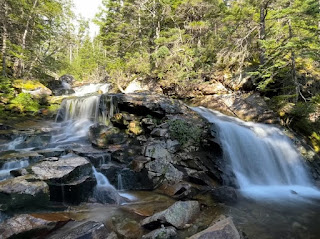
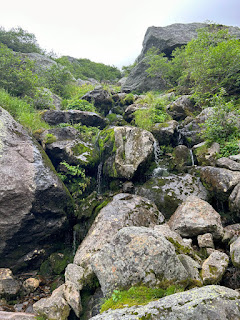
Cascade along the Great Gulf Trail
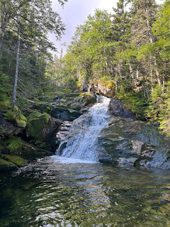
Weetamoo Falls
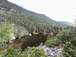
Spaulding Lake
Lower section of the headwall goes straight up boulders and small waterfalls
Great Gulf Wilderness
Heading up the steep headwall
- I left the comfort of the observatory building back into the wind and low visibility down the Nelson Crag Trail. After crossing the Auto Road I ran into my friend Todd who had come up Huntington Ravine, we chatted for a few seconds or more like shouted from the high winds, before heading our separate ways. The clouds started to break soon after crossing over Ball Crag down to the Huntington Ravine Trail junction where I saw Patrick, Mount Washington State Park Supervisor, knocking over rogue cairns at the junction.
- Soon thereafter I made it to the Alpine Garden junction, I felt like I was in a whole different world from where I was ten minutes ago, I was now in the sun so I ditched my Houdini jacket and gloves for good as I made my way down the Alpine Garden Trail across the Auto Road to the Wamsutta Trail.
- The first 0.25 miles of the Wamsutta Trail was pretty awful, first there was stunted dwarf spruce ankle high obscuring the trail followed by a few sections of four to eight feet high spruce through narrow and overgrown trail hiding all booby traps. This was oddly mixed in with beautiful and easy above treeline hiking before dropping into the woods where recent trail work made the last mile plus a great descent back to the floor of the Great Gulf.
Clouds quickly blowing off as I descended from Ball Crag
Looking down the Neslon Crag Trail with the Wildcat Range to the east
Alpine Garden Trail with clouds clearing off of Mount Jefferson, Adams, and Madison
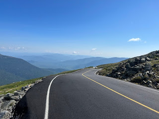
Mount Washington Auto Road
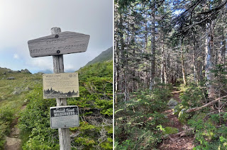
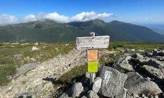
Wamsutta Trail Junction
Where I will be heading up next, Mount Jefferson's knee
Wamsutta Trail, scratchy in places up top, beautiful down low
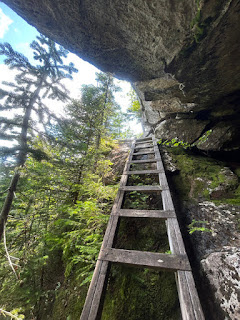
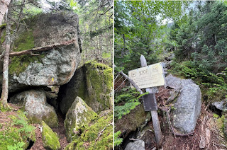
- Now it was time for another steep ascent up the wild and rugged Six Husbands Trail, highlighted by perfectly placed ladder steps by enormous overhanging boulders, it's not for the faint of heart but all the rocks were dry and grippy on this day making for easy albeit slow passage up to Jefferson's knee.
- Before scurrying up the ladders I took a nice little break to eat some snack foods, changing it up from my gels, shot blocks, and protein bars. I also applied sun block as the clouds had blown off and I was about to be in the sun for most of the next several hours.
- Once slogging my way up the ladders I was rewarded with a nice breeze and great views as I strolled my way up to the summit of Mount Jefferson, 11:45AM. I did not stay too long on the summit of Jefferson as it was quite crowded and I had a long way to go. I will say other than Madison Spring Hut and Jefferson's summit I had hardly seen anyone on trail to this point, zero on Pine Link and Buttress, four on Great Gulf, a couple on Nelson Crag, zero on Wamsutta, three on Six Husbands.
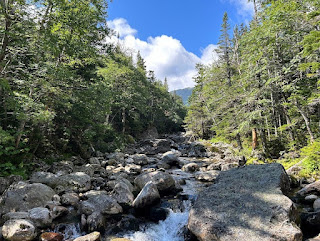
Crossing the West Branch Peabody River at the beginning of the Six Husbands Trail
Look at that perfectly placed ladder!
Looking down from where I came earlier this morning along the Buttress Trail. The trail crosses the tauls field at the bottom.
Enjoying the great view as I make my way to Jefferson's summit
- From the summit of Jefferson I enjoyed the open-air descent of the Castellated Ridge where I could spy below me my next steep ascent out of Castle Ravine. To get there I had to pass through crags and pillars that make up the castles before once again dropping below treeline to the trail junction with The Link. This section of The Link drops steeply 0.6 miles over moss covered rocks and roots until reaching to floor of the Castle Ravine, while it is slow going down to the Castle Ravine Trail junction, it does have a magical forest feel to it and you'll rarely see a soul along it.
- Time for another steep burst and to see if I had been correctly pacing myself for the day to avoid the dreaded one and two step and stop fatigue. Before heading up I refilled my bladder in Castle Brook and had some cookies for a sugar rush before plodding my way up Castle Ravine.
- It's a slippery and steep trail that passes by Roof Rock before breaking out into the talus field. Somehow on the lower talus field I missed a sharp right turn back into the woods and dead ended a hundred feet above the missed turn. I looked back down and saw my mistake and quickly cut over to where I needed to be and made my way up and out of Castle Ravine to Edmands Col while keeping up a solid hiking pace, victory!
Descending the Castle Trail
Castle Ravine, Castellated Ridge, and Mount Jefferson
Castle Ravine
The Link
Roof Rock and one sad looking weather warning / alpine zone sign
Ascending Castle Ravine
Castle Ravine
- Next up was the only part of the route I created that I was not too thrilled about, a pretty pointless down and up to Mount Adams via Randolph Path, Gray Knob Trail, and Lowe's Path. While these three sections of trail are beautiful, it was just the thought of meandering up to Mount Adams in the mist of all these steep ascents that took the wind out of me. Luckily the footing over these 3.5 miles was tame compared to just about everything else so I went into cruise control as I made my way to treeline and back in the woods just to immediately pop back up above it.
- Winds were still kicking as I crossed by Thunderstorm Junction and up to Mount Adam's summit, 2:20PM, it felt quite refreshing but it would not last as I dropped down Star Lake Trail and out of the wind and in the sun making for the hottest part of the day, but all things considered temps were pretty much perfect outside of this spot and the summit cones of Madison and Washington early in the morning.
- When I reached Madison Spring Hut I refueled, relaxed, and prepared my gear before the final big push of the day.
On Randolph Path looking back at Mount Jefferson
Hiking along the Gray Knob Trail
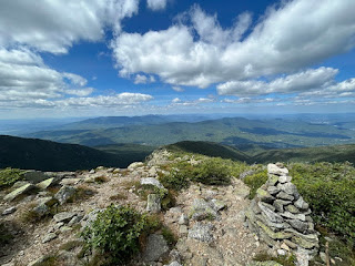
Above treeline on Lowe's Path looking west
Skirting around a sub peak of Mount Adams, Sam Adams
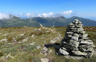
Thunderstorm Junction
Star Lake and Mount Madison as seen from Mount Adams
Mount Washington and Jefferson
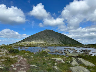
Star Lake
- From Madison Spring Hut I made my way over to Durand Ridge and Chemin Des Dames via Airline Cutoff and Airline. Chemin Des Dames, named after a road in France where three battles were fought during Word War I, the trail drops 0.4 miles and 800 feet to the floor of King Ravine. It is a mix a loose rock up high and a boulder field down low, it's slow going but gets you where you need to go in short order. I made sure to descend carefully as I was on mile 25 and 13,000' of elevation gain in and did not want to have a misstep this late in the day.
- After carefully picking my way down it was time for the last steep burst of the day, 0.9 miles and 1,400' topping out above the Gateway. I skipped the side trails, Subway and Ice Caves, and stayed on the trail proper, although I highly recommend these alternate routes that wind through boulder caves with some thrilling lemon squeezer sections.
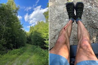
- I was slowly making my way up the headwall of King Ravine, I had paced well all day and avoided the one/two step stop, just slow hiking straight up as I approached the Gateway. About two thirds of the way I stopped to snap a picture when my leg slipped and I banged my lower leg off a rock, creating a decent gash that looked nasty but is par for the course on big mile big elevation days. Better than the usual trip and falls that happen on days like these plus my knee which had been aching earlier in the day was fine so only having a gash on my leg is a win-win in my mind!
- After cutting my leg I got a shot of adrenaline and quickly scooted up past the Gateway and ran down to the Osgood Trail Junction to take my last break of the day and eat the rest of my cookies and Cheez-Its for the final run out.
Durand Ridge along the Airline
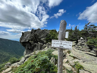
Time for a steep drop down Chemin Des Dames
King Ravine from Chemin Des Dames
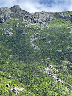
Looking up at the King Ravine trail, it heads up the talus fields
Heading through the Gateway
Looking back down King Ravine as I top out
Madison Spring Hut and the summit cone of Mount Madison
- My final short climb of the day up Osgood Trail to Mount Madison's summit was much different than this morning, I was not in a cloud, the temp had risen considerably, and the wind had died down making for an easy summit, 4PM. There was no lingering around on the summit, I saved my energy all day so I could move quickly down the Osgood Trail, Daniel Webster Scout Trail, and Hayes-Copp Ski Trail back to my Jeep. The rocks were dry making for easy rock hopping with careful foot placement to not twist an ankle, never having heavy or forceful down steps, I refer to it as tap dancing down a mountain.
- Views were outstanding as I descended Osgood Ridge and onto Webster Scout Trail curving around the north shoulder of the ridge before finally saying goodbye to the alpine zone and back into the woods for the final three miles.
- It was a quick and quiet run back to the Barnes Field, I dunked my head at any of the small streams to cool off and made it back down at 5:10PM, 11 hours and 50 minutes after starting the day. I chugged Gatorade and an iced coffee before catching my breath and making the long drive home, all of five minutes back to my house in Gorham.
- What an adventurous day in and out of the Great Gulf and Castle and King ravines, it was brutally awesome, and I hope my friends who will be hiking/running it this weekend will have a great day out there too!
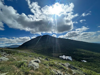
Sun shining through clouds over Madison Spring Hut
Mount Madison Summit
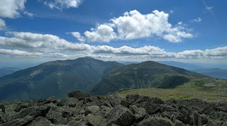
Madison, Adams, Washington from Osgood Ridge
Osgood Junction
Daniel Webster Scout Trail
Looking back at where I started!
Hayes Copp Ski Trail and my gash, nothing a few butterfly bandages and few days off can't fix!
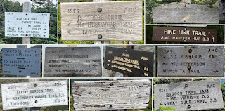
Trails taken from Pine Link to Six Husbands
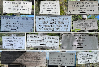
Trails taken from Castle Trail through Daniel Webster Scout


